ArcGIS 9.3.1: Partnership between ESRI and Microsoft

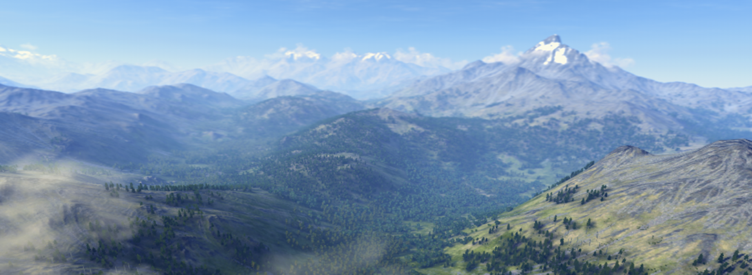
In their latest preview of ArcGIS 9.3.1, ESRI announced their intensified partnership with Microsoft, marrying ArcGIS with VirtualEarth.As we currently test in a series of planning workshops in the Rockies, the combination of GIS for spatial analysis and Virtual Globes for visualization and communication is very powerful. In the near future, I will tell you more about the workflow ArcGIS -> CommunityViz -> GoogleEarth / Biosphere3D, including some first screenshots.

For the forthcoming ArcGIS-VirtualEarth integration, please read the following ESRI press release (source: http://www.esri.com/software/arcgis/arcgisonline/whats_new.html).

What’s New in ArcGIS Online 9.3.1

ArcGIS Online 9.3.1 gives users quick and easy access to a set of foundation services for GIS projects, and provides a platform to discover and share geographic information.

Virtual Earth Now Seamlessly Integrated with ArcGIS

A new agreement between ESRI and Microsoft gives ArcGIS users seamless access to Virtual Earth services. ArcGIS Desktop, ArcGIS Server, and ArcGIS Explorer users will be able to directly connect to Virtual Earth services to enhance their GIS projects.

  • ArcGIS Desktop
    • Free, limited annual allotment for users who are current on maintenance
    • Annual subscription with unlimited transactions available for purchase
  • ArcGIS Explorer
    • Access Virtual Earth and share transactions as part of an existing ArcGIS Desktop license.
    • ArcGIS Explorer users who do not have an ArcGIS Desktop license, can evaluate Virtual Earth at no cost for 90 days.
    • Annual subscription with no transaction limits is available for purchase.
  • ArcGIS Server
    • Built-in 90-day evaluation of Virtual Earth, after which an annual, transaction-based subscription can be purchased

New Location Services

  • World geocoding (available for use with ArcGIS 9.3)
    • Geocoding, batch geocoding, reverse geocoding for North America and Europe
    • World place finding (countries, provinces, cities, landmarks)
  • Routing
    • Point-to-point and optimized routing for North America and Europe
  • Drive Time
    • Calculate drive-time polygon using an input location and drive-time values.

Discover and Share Geographic Information

With ArcGIS Online, users can

  • Search for maps published by ESRI and other users.
  • Upload maps and register online map services.
  • Organize and control access to shared maps.
  • Save Web maps as items for others to share, discover, and use.

Better sharing of layers

  • Layers referencing feature or raster data can be combined into a single layer package that comprises of both the layer file and data.
  • These layer packages can be shared with other users via the new ArcGIS Online sharing capability, through files, or by e-mail.

More information can be found in the VirtualEarth Evangelist Blog (no guarantee for the objectivity or correctness for links to third-party blogs)
Vancouver becomes the third city of Autodesk’s Digital Cities Initiative

The more regular readers of this blog might remember the article on the last URISA symposium. It seems that the conference has been the origin of a closer collaboration between the City of Vancouver and Autodesk, who now announced Vancouver to be the third city of the Autodesk Digital Cities Initiative (click here for the official press release).

The first two partners of the initiative have been Salzburg, Austria and Incheon, Korea. With Vancouver, Autodesk has chosen the first pilot city in Northern America and it seems to be a win-win situation to me:

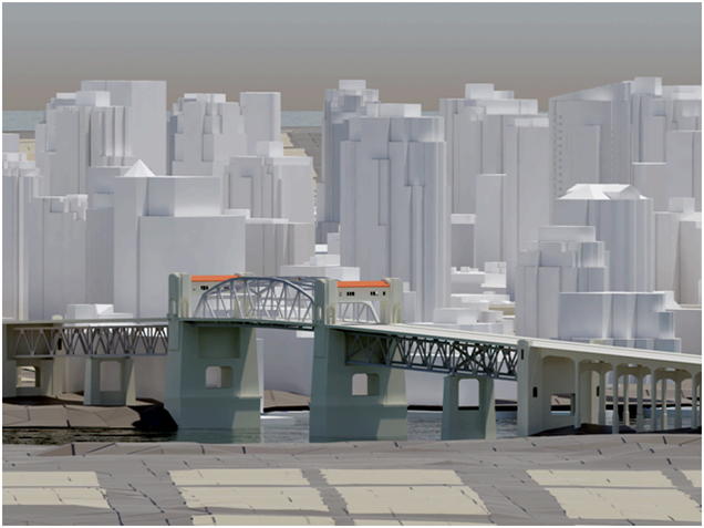
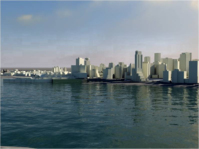
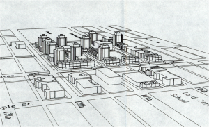
As you can see in the first image, which dates back to 1980, Vancouver has always been at the forefront of using 3d city models in planning and its planners are “early adopters”, open to innovative digital technology. Today, a lot of 2d and 3d data is available and stored in an Oracle spatial database. The only tool missing was an open platform to bring the different standards from CAD to BIM and GIS together and here, Autodesk’s new CityGML-based products fit very well.

For Autodesk, Vancouver is an interesting use case because the city has a high growth rate (2000-2005: 5.6 %) and a lot of development has taken place over the last years. Despite the current economic crisis, Vancouver is undergoing another boost and will gain additional international attention because of the Winter Olympics 2010.

The high growth rate and the demands of the Olympic Game impose a lot of urgent issues to the planning department. According to city planner Dan Campbell’s presentation at the URISA conference, the planning department is looking for new ways to complement the use of its 3d city model for visualization by additional analyses:

According to Dan Campbell, the partnership with Autodesk’s Digital Cities Initiative has the potential to facilitate public participation in planning and to enable sustainable design. An “intelligent” and also attractive 3d city model can make it easier for people to understand planning issues and can capture visual and emotional aspects better than traditional tools.

Images: Dan Campbell: City of Vancouver 3D, Presentation at the URISA symposium “The new dimension in gis – 3D analysis” January 22, 2009, Burnaby.

CityScape 1.6 by PixelActive

A workmate has drawn my attention to a new tool for constructing 3d city models: CityScape 1.6 by PixelActive. Although I had no time to try the demo yet, it seems to me that the included models fit best for cities in Norther America. The supported file formats include elevation data and Collada, which makes it interesting for city planners, too. Another interesting feature is the real-time animation. However, my guess is that it is most useful for game designers.