Biomass in Future Landscapes from Philip Paar on Vimeo.
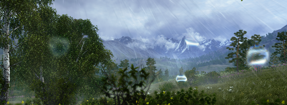
Fly-throughs are quite popular, especially since the success of Google Earth but what matters more to landscape perception is the human perspective from eye-level view. Lenné3D, a Berlin based corporation, has been invited by the German Biomass Research Centre (DBFZ) to create this visual stunning simulation of future cultural landscape scenarios by virtually implementing biomass into an existing landscape. Our contribution tries to advance the paradigm of Humphrey Repton’s famous before-and-after landscape depictions with dynamic navigation, and to trigger fruitful discussions on the various aspects and issues of biomass in cultural landscapes.
The video animation “Biomass in Future Landscapes” shows both fly-through and walk-troughs and a time travel. New landscape scenery patterns and time and again views arise from implementation of linear structures such as alley-cropping systems.
The video is based on a virtual 3D model derived from geodata such as a digital elevation model and land use maps and field patterns, vegetation relevés, and descriptions of cropping practices. A plant distributor software arranges the vegetation cover. Finally, a virtual camera flies and walks though the 3D landscape model and the animation is rendered using the interactive Lenné3D-Player software.
The video was presented first at the international conference Biomass in Future Landscape, Berlin, March 31st – April 1st 2009.